This was sent a while ago and is belatedly published here for information: KLWNBUG The Norfolk and Fens Cycling Campaign welcomes the first presentation of the King's Lynn Local Cycling and Walking Infrastructure Plan (LCWIP) and awaits more detail with interest.

The LCWIP is about making King's Lynn a better place for everyone, so we suggest the plan is titled to reflect that: something like Liveable King's Lynn / Better Streets for King's Lynn.
We understand that one of the key objectives to the development of an LCWIP is to help to support the aims and objectives of the national Cycling and Walking Investment Strategy:
- to aim to double cycling activity from 2013 to 2025,
- to aim to increase walking activity to 300 stages per person per year in 2025, and
- to increase the percentage of children aged 5 to 10 that usually walk to school from 49% in 2014 to 55% in 2025.
Priority Areas
The technical guidance suggests that "authorities should prioritise areas which have the greatest potential for growing cycling and walking trips". Which are these in King's Lynn?
The Network
One of the key outputs of the Local Cycling and Walking Infrastructure Plan should be a network plan for walking and cycling.

It is our view that the presentation appears to show a promising plan and we look forward to the detail of schemes which will implement it. However, there are areas where the LCWIP could be improved to reflect the scale and nature of the ambition needed to achieve the aims and objectives.
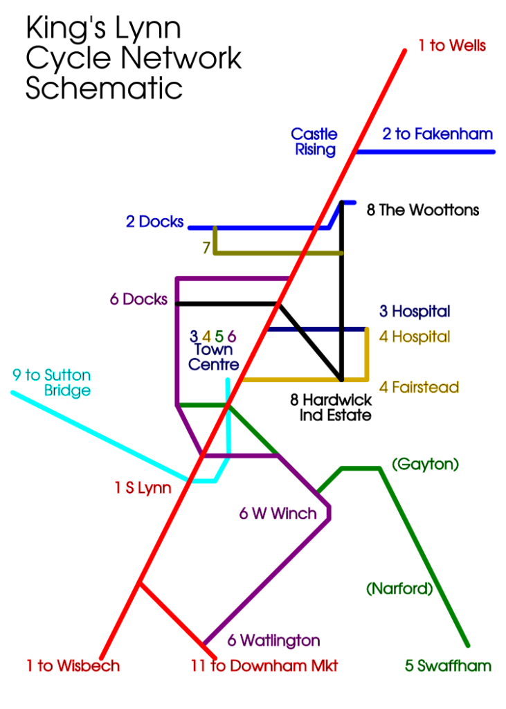
Currently, the maps presented show a few priority routes that do not yet form a network, with only five junction areas between corridors (town centre, Scania Way, Spring Lane, Wootton Gap and KES/KLA). We would have liked to see a network that included the Swaffham Belt Cycleway / Winston Churchill Drive corridor (to serve the schools along it), the Nar Valley Way / South Lynn Railway (to serve Saddlebow and Hardwick Narrows employment areas, as well as a possible future Parkway rail station), and the remainder of the Bawsey Drain - Marsh Lane - QE Avenue corridor (to better serve schools and leisure areas). The presented plan does not include the Marsh Lane section of the last of those even as a neighbourhood route, which seems like a significant gap in the mesh.
It will also be important to take the network to places not currently served, including the proposed developments at Knights Hill and the South East Expansion Zone.

One of the key points in the Gear Change policy referred to by the presentation is to "create cycle, bus and walking corridors, closing a limited number of main roads to through traffic except for buses and access" (page 17 of Gear Change). It is easy to see this could happen on the Clenchwarton, Woottons, Fairstead and West Winch Future corridors, but is there really the will to do this on the marked Hospital and especially West Winch and North Lynn corridors? Will all private motor traffic be directed to the only remaining routes, A148 Nar Ouse Way and A148 Wootton Road? If not, it may be better to realign the North Lynn corridor to the Marsh Lane route and to Sandy Lane via Seathwaite Road; the Hospital corridor to the Swaffham Belt Cycleway and Winston Churchill Drive; and the West Winch corridor to the former railway through Hardwick Narrows and the Nar Valley Way, leaving the routes alongside the town A roads as connecting neighbourhood routes.
Have these alternative alignments been compared with the selected ones using the Route Selection Tool? Could the selected corridors meet the 70% Cycling Level of Service target outlined in LTN 1/20 without any critical fails?

The wider network looks reasonable as far as it is defined yet. It may be good to make Grimston number 1 to reflect its key importance as a long-standing missing link and we have suggestions for naming, the Gayton link especially.
We feel there should also be routes to East Winch via Middleton, and the active-travel-isolated village of Tilney All Saints, although we realise developing those two routes will depend on Highways England's A47 road corridor more than NCC roads. Even so, we feel they should be noted.
Noticeable omissions from the maps include any Low Traffic Neighbourhoods or Superblocks and a Circulation Plan. There are a number of areas which seem obvious candidates for LTNs or Superblocks but we suggest inviting whatever neighbourhood forums and residents associations exist in the town to poll their members and suggest their areas if there is support. Then a Circulation Plan could be devised around these.
The local shopping areas of Gaywood, South Lynn, North End, Reffley, Fairstead and North Lynn should also be considered for Walking Zone designations, probably in that order of preference.
Next Steps
We look forward to the prioritised programme of infrastructure improvements. We urge the priorities to include both developing the network by first delivering measures that connect or extend existing infrastructure, and also the KLWNBUG "Improvements Needed" list, especially about adding crossings of London Road and removal of discriminatory barriers at places like the Cut Bridge to West Lynn and the entrances to Wootton Park.
To ensure that new developments do deliver in line with the LCWIP ambitions, it should be given full weight in the local planning policies and highways consultee comments and, when complete, adopted as a Supplementary Planning Document. The policies need to be strengthened to align with the vision of the LCWIP and with the changes in national policy and guidance since the policies were last reviewed (NPPF, Gear Change, LTN1/20, CD195 and so on).
An LCWIP will be of no value if it does not result in real change on the ground. What actual changes to the network will we see? It is vital to quickly deliver a project of sufficient scale and quality that it can be seen to make a real difference and which can then act as a catalyst for increased public support for further developments extending the network. We hope that this will be in the plan.


Pingback: Vote Bike 2021 | KLWNBUG - The Norfolk & Fens Cycling Campaign